


Location: Taylor County, West Virginia
Water Source: Tygart River
Drop:
Flow: Year
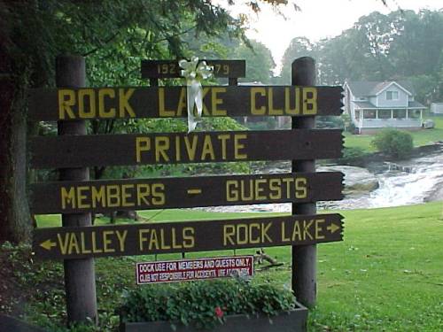
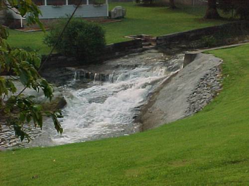
Directions: From I-79 south of Morgantown, West Virginia take Rt. 310 southeast for about 10 miles to Valley Falls State Park (follow the signs to the part after you are on Rt. 310.) The signs to Valley Falls take you down a hill with a lake at the bottom and a fire district station to the right. Follow the signs to Valley Falls to the left along the lake. At the end of the lake is the first sign above with a waterfall behind it (shown above in the bottom row.) This is not Valley Falls.
Turn left and go up the hill. At the top of the hill is a ranger station to the left. Continue down the hill for 1 mile to the parking lot, from which the falls are visible. A short walk across a footbridge takes you to the falle - the upper falls to the left and the lower falls to the right.
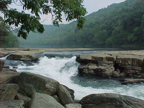
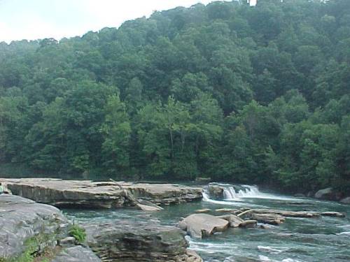
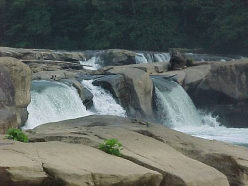
Notes: Some girls at the falls told me the water was very low. Usually the upper falls continue all the way across the river, rather than being split as can be seen in the top two photos - the first photo shows the section of falls on the left, and the second shows the falls on the right. The rocks shown in the second photo in the middle of the river are usually not visible. The second row of photos show the lower falls, with the upper falls visible in the third photo.
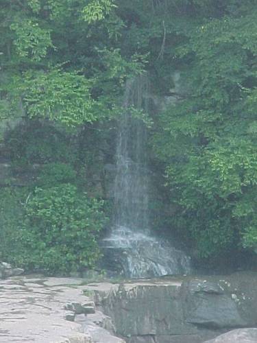
The photo in the third row shows a small waterfall feeding into the river from across the river just below the upper falls.
Page last updated 12 Aug 2003.
Email comments to dmmaki@MichelesWorld.net